
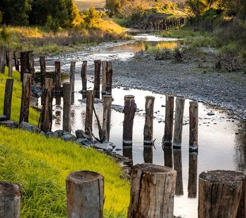
Work has begun on a $6.7 million flood resilience project along Upper Warrill Creek, with the aim of protecting farmland, improving waterway health and reducing the impact of future floods across the Scenic Rim.
The project, funded through the jointly funded Commonwealth-State Disaster Recovery Funding Arrangements (DRFA), will restore eroded riverbanks, stabilise slopes and establish more than 20,000 native plants to reduce erosion and improve water quality.
Upper Warrill Creek, a major tributary of the Bremer River, has suffered significant damage during floods in 2017, 2022 and 2024, resulting in severe erosion, sediment loss and impacts on productive agricultural land.
Resilient Rivers SEQ is leading the project, with crews already removing invasive weeds across more than 50 hectares of waterways. This includes cat’s claw creeper, a destructive vine that threatens native vegetation and wildlife habitat.
Federal Emergency Management Minister Kristy McBain said the project would strengthen flood resilience while delivering environmental benefits for communities downstream.
Scenic Rim Mayor Tom Sharp described the works as a long-term investment in the region’s future.
“By repairing damaged banks, removing invasive weeds and re-establishing native vegetation, we’re improving the creek’s health and supporting our communities,” he said.
The project will also help protect local agriculture, reduce sediment flowing into Moreton Bay and create healthier habitat for native wildlife, ensuring the creek remains more resilient for years to come.
Image source: scenicrim.qld.gov.au